
Geoscientific Services
(GIS, Remote Sensing, Geodesy)
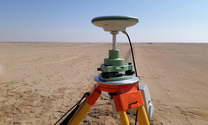
DEEX provides geoscientific services in the areas of Geographic Information Systems (GIS), Remote Sensing and Geodesy. These services support project activities requiring spatial information, geographic data and geodetic analysis. GIS services facilitate the organization, analysis and presentation of spatial information, while remote sensing provides relevant information for the assessment of geographic areas and project locations. Geodesy supports the collection and management of accurate spatial and positional information. The combination of these technical services provides project teams with appropriate spatial information and technical support for project preparation, assessment and implementation.